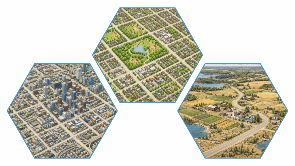
What does your local food environment look like?
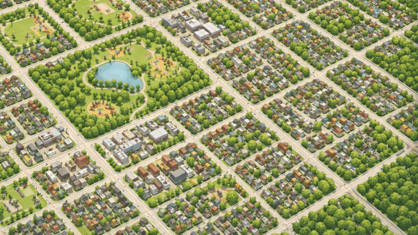
Have you ever thought about how easy or hard it is to find food where you live or work?
- Is there a grocery store nearby? How many?
- Do you have a cafeteria at work?
- Are fast-food restaurants just around the corner, maybe even a Tim Hortons?
These everyday details are part of what researchers call the food environment, and they can influence what people eat.
What is Can-FED?
The Canadian Food Environment Database (Can-FED) provides detailed, neighbourhood-level information about food outlets across Canada. It shows how many and what types of food stores and restaurants are located near where people live, including:
- Grocery stores and superstores
- Convenience and corner stores
- Fast-food restaurants
These measures are calculated for small geographic areas called dissemination areas and typically look at what’s available within set distances, such as 1 km or 3 km, around homes or workplaces.
Can-FED 2.0: now updated
Can-FED was recently updated by researchers at the University of Toronto in collaboration with Statistics Canada, to better reflect today’s food environments across Canada.
Two versions of the data are available:
- 📊 Public-use dataset: Openly available
- 🔒 Restricted-access dataset: A more detailed version available through local Research Data Centres (RDCs)
Why this matters for CanPath, HEAL, and CHARM
All CanPath regions are linked to Can-FED. When combined with information shared through the HEAL and CHARM studies, Can-FED helps researchers explore important questions, such as:
- How does the local food environment shape diet quality?
- Do food options differ across regions or communities?
- Are some neighbourhoods more likely to face barriers to healthy eating?
By linking food environment data with health and lifestyle information, researchers can better understand how access and place shape eating patterns and health.
Behind every data point is a lived experience
Food choices don’t happen in isolation. They’re shaped by what’s affordable and accessible.
Thanks to your participation in these studies, tools like Can-FED help researchers better understand the real-world environments Canadians live in and how those environments may support or challenge healthy eating.